Subscription platforms, datasets, analytics tools, and 3D models — all powered by world-class geospatial science and urban analytics.
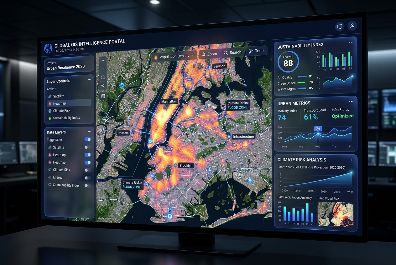
Comprehensive urban sustainability monitoring system with real-time satellite data, AI modelling, and interactive GIS dashboards. Per-city subscription.
500+ urban sustainability indicators covering 200+ cities worldwide. Updated quarterly with satellite-derived and ground-truth data.
Visitor flow intelligence, overtourism risk assessment, and destination sustainability indices for tourism boards and municipalities.
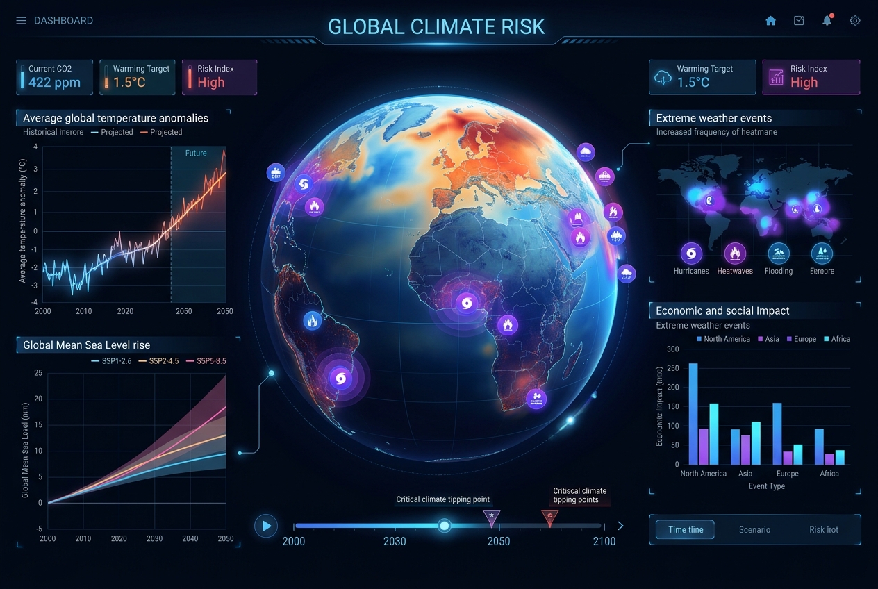
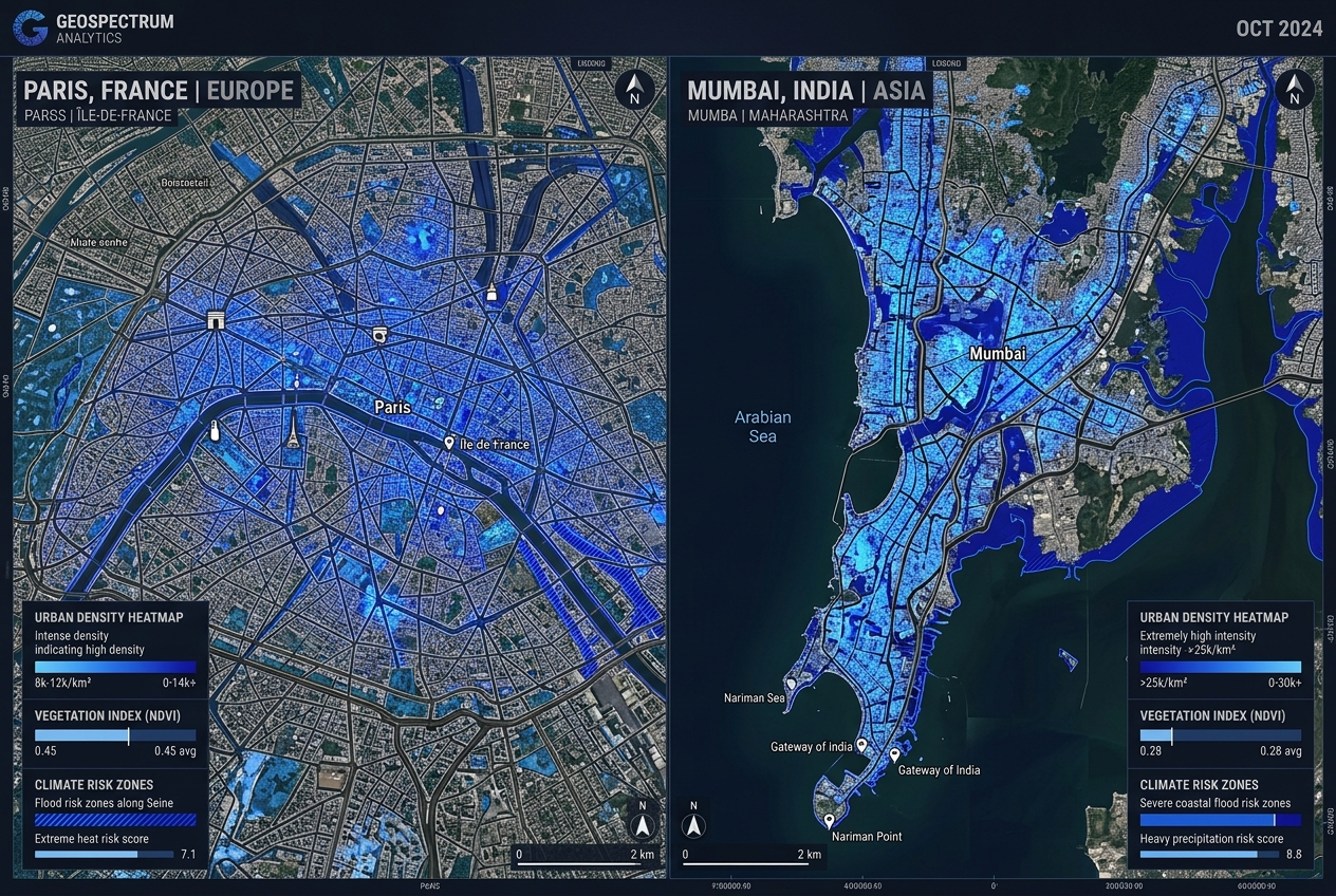
High-resolution climate risk maps covering flood hazards, urban heat, drought vulnerability, and sea-level rise across Indian and European cities.
Science-based ecological accounting datasets using Global Footprint Network methodology, spatially disaggregated at city and district level.
Satellite-derived urban green space inventories, canopy cover maps, biodiversity indices, and NDVI time-series analysis for any city globally.
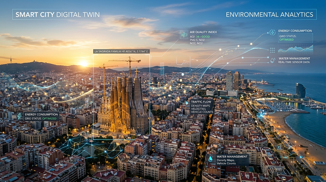
Custom 3D printed scale city models derived from LiDAR and photogrammetry data, plus CityGML digital twin exports for planning and exhibitions.
Block-level sustainability profiling tool comparing green space, walkability, air quality, flood risk, and liveability across neighbourhoods.
Curated multi-spectral satellite imagery time-series for any city globally, pre-processed and analysis-ready in GeoTIFF and COG format.
We build bespoke geospatial intelligence products tailored to your specific geography, sector, and analytical requirements.