About the Founder
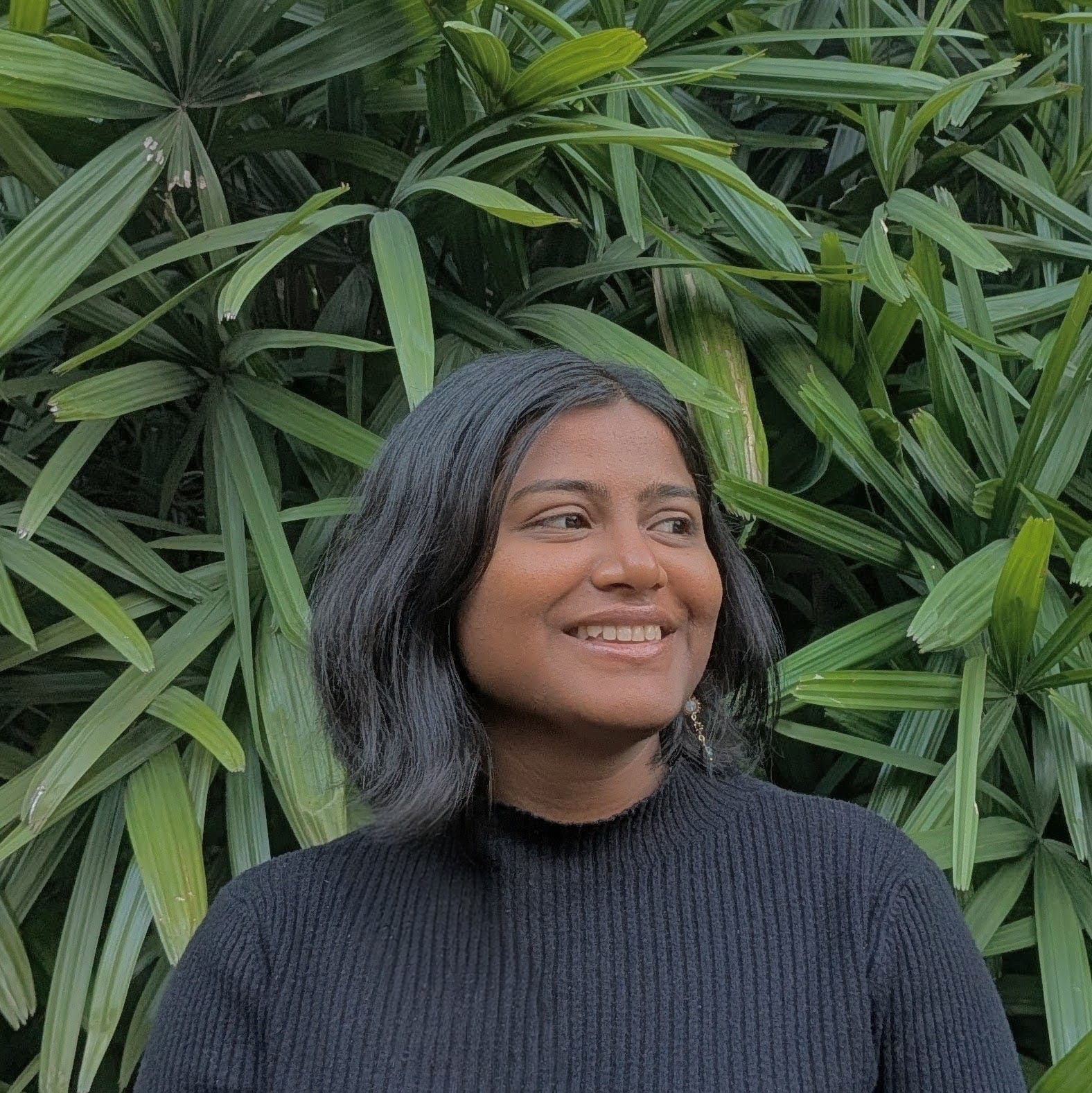
Jayashree
Architect · Urban Researcher · Founder, Stratum.Earth
Jayashree is an innovative architect, urban researcher, and the founder of Stratum.Earth — a specialised spatial intelligence and urban analytics practice. Driven by a passion for bridging technical spatial analysis with strategic organisational priorities, she excels at translating complex geospatial, environmental, and behavioural datasets into actionable strategy and interactive decision-support tools.
Supported by a Master in City and Technology from IAAC Barcelona and a Bachelor of Architecture from Bengaluru, she brings four years of diverse international experience spanning spatial analytics, computational design, and civic technology. Her technical expertise includes mastering QGIS, Python, and interactive web mapping to automate data workflows and design performant digital interfaces.
From digitising over 150 regional masterplans to designing public infrastructure for Bengaluru's 13 km K100 stormwater revitalisation, her work consistently focuses on driving sustainability, climate resilience, and community-centric innovation within the built environment.
Postgraduate
Master in City and Technology — IAAC, Barcelona
Undergraduate
Bachelor of Architecture — Bengaluru, India
Experience
4+ years · Spatial Analytics, Computational Design & Civic Technology
Base
Bengaluru, India & Barcelona, Spain

 Founder & Director